OSFT project – Spatial Observation of Tropical Forests in the Congo basin
Context
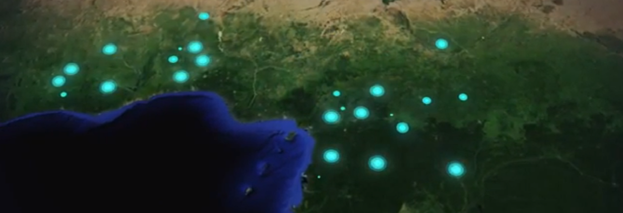
Within the framework of a large initiative to map all the forests in the Congo Basin, Airbus has been asked to provide SPOT satellite images covering central African countries. France, which is funding the operation through the French Development Agency (AFD), aims to assist these countries in their REDD+ preparations. Archive images, and more recent images, will serve as basic references for the concerned area. The processing of these images has also made way for the creation of forest maps.
ONFI contributions
Coordination and management of the OSFT project has been carried out by IGN-FI. ONFI was missioned to supply expert assistance in the quality control of delivered images, to provide advice for the production of cartographic data in compliance with REDD+ requirements, and ensure quality control of maps produced by Airbus DS. ONFI has in this sense been present at every technical stage of the project
Expected results
- Component 1: Acquisition and control of SPOT satellite images. SPOT4 and SPOT5 images acquired in the pivot year of 2010 and covering some 3.3 million km², provided for a complete cover of the Congo Basin. A second coverage of the Congo Basin using SPOT5, 6 and 7 was initiated around 2015, covering approximately 1.8 million km². ONFI has been in charge of the quality control of these data in view of their compliance with REDD+ requirements.
- Component 2: As a complement, forest maps based on satellite imagery were made on three dates (1990, 2000 and 2010), and on a surface area of 600.000 km² divided between the CAR and Cameroon. In line with IPPC recommendations, ONFI has elaborated and implemented a method of quality control. Maps are then put at the two countries´ disposal to help them implement the required tools for the monitoring of forest dynamics within the framework of REDD+ preparations. These maps are free of access.
- Component 3: SPOT satellite data have been put at the disposal of political decision-makers and government officials in each country to monitor changes in the forest cover, thus contributing to policies and programmes of forest preservation in Central African countries. A specific SPOT licence has been created to enable beneficiary countries to freely distribute images to any eligible project making such demands. The licence procedure has been voluntarily simplified to allow as many countries as possible access these images. ONFI has contributed to awareness-raising in the countries concerned, and has participated in technical workshops and institutional assessments in CAR, DRC and the Republic of Congo.
Some key data
Country: Congo Basin (Cameroon, CAR, DRC, Gabon, Congo)
Topics: Remote sensing, Cartography, Forest management, REDD+
03/2011 – 09/2014
Budget : 350k€
Partners: IGNFI, CNES, Airbus DS, IGN, IRD
Customer: IGNFI / AFD
Sponsor: AFD
For further information
Référent ONFI : Anoumou Kemavo (anoumou.kemavo@onfinternational.com)

